In a mobile-driven landscape, relying on spreadsheets and paper trails just doesn’t add up. Real-time insights? Forget about it. With field services juggling multiple tasks simultaneously, you need more than manual tracking; enter GIS mapping, the dynamic solution your operations crave.
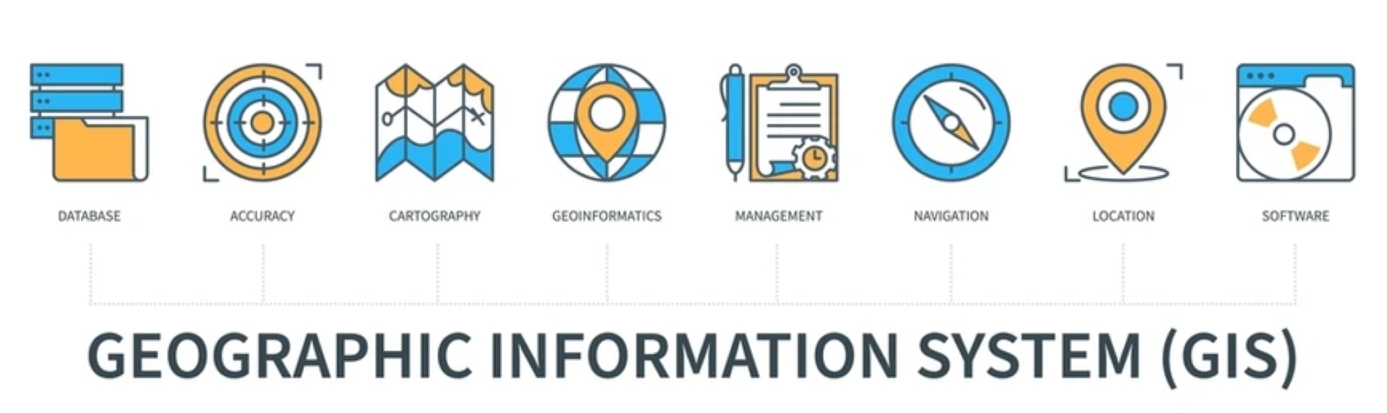
Geographic information systems (GIS) are the unsung heroes that identify location points on a map and seamlessly integrate descriptive data. It’s not just about mapping; it’s about connecting location and vital details for field services like mining, landscaping, construction, and emergency response. Plan, track, and monitor activities with ease, visualizing critical data across locations for smarter decisions.
Still stuck in spreadsheet purgatory? That means you’re trailing behind the competition, losing time, productivity, and dollars. But fear not! Transitioning from manual tracking is a breeze with GIS mapping. Collect, store, and interpret spatial data to grasp patterns and relationships in a geographic context. The result? Improved communication, efficiency, management, and decision-making.
So, let’s dive into the world of GIS mapping and uncover the full spectrum of benefits it brings to field service operations. Get ready for a boost in your bottom line—it’s not just about maps; it’s about transforming your game!
GIS Mapping Solutions: Common Challenges in the Industry
Navigating the intricacies of geospatial data integration presents a unique set of challenges. Geospatial data, a fusion of information encompassing various parameters alongside geographical indicators, is a cornerstone for numerous modern businesses aiming to optimize their product and service delivery. Employing geographical information system (GIS) integration becomes crucial for processing and analyzing this intricate geospatial data.
The data collection journey spans diverse sources, ranging from census data and satellite images to social media and cell phone data. Bringing together geospatial data from these varied origins and consolidating them into a cohesive database is the formidable task known as geospatial data integration.
Geospatial Data Integration: A Closer Look at Why It’s Essential
Ever wondered about the buzz around geospatial data integration? Well, let’s break it down. Sure, you’ve got data pouring in from every corner, but there’s a method to the madness. Enter the superhero of the hour: spatial data integration. It’s the magic wand that turns scattered data into a unified hub for processing, modeling, and visualizing.
Now, let’s talk databases. No single source has all the keys to the kingdom of variables. Relying on just one? That’s like trying to fit a square peg into a round hole. That’s where geospatial data integration steps in, making sure all your data finds a cozy home in one place.
Why does this matter, you ask? Because when you blend data from various sources, you’re not just getting more data – you’re getting a golden ticket to the decision-making extravaganza. Businesses can dive into multiple variables, ensuring decisions aren’t just informed but brilliantly so.
But the plot thickens! With this integrated database, the Geographical Information System (GIS) swoops in as the strategic sidekick. It’s the Batman to your Robin, providing insights into different time and space scenarios. Mapping, civic planning, risk assessment, understanding people’s behavior—name the task—and geospatial data integration are there to save the day! It’s not just about data; it’s your secret sauce for decoding the complex world of insights.
Before Hitting the Road: Enhancing Your Daily Field Service Operation Strategies
You’ve probably heard that an hour of planning can spare you 10 hours of doing. Well, there’s a catch – unless you’re still stuck in the era of outdated spreadsheets for your field operation blueprints.
To truly save both time and money, enter GIS mapping. It empowers your team to kickstart each day with a finely tuned plan, slashing delays, misunderstandings, and misguided resource allocations. The end game? Maximum productivity at every stop. With GIS mapping, you can fine-tune your game plan even before the trucks hit the road. Let’s dive into how:
Route Planning:
Getting a visual overview of the day’s job locations is key for employees to strategize the best starting point and optimize job orders. Some tools even offer the perk of selecting a batch of jobs and running them through an automated route optimizer, suggesting the most efficient routes to cut down on travel time.
Contextual Information:
While optimizing based on location is crucial, there’s more to the story. GIS mapping steps in to provide a wealth of information on each job point. This includes real-time traffic updates, details on sensitive environmental areas, land use specifics, zoning information, demographics, and even heat mapping.
Skill Set Allocation:
Cleaning up your system data is the first step in streamlining information, covering job types, locations, and specific task requirements. Armed with this insight, you can confidently assign tasks to individuals with the right skills. Field workers can also prepare effectively for scheduled jobs, minimizing resource wastage.
Data Reliability:
Big corporate or aged asset data isn’t always the most trustworthy. GIS analysis comes to the rescue by pinpointing unreliable or conflicting information, and doing away with duplicates. By merging various datasets, you get a deeper understanding and improved baseline data reliability.
For instance, imagine technicians tackling telephone pole maintenance. With scrubbed and GIS-analyzed data, they can pinpoint the poles needing attention, identify issues, and grasp job requirements. No more need to inspect each pole individually – it’s all about efficiency and targeted action.
Customer Demand Heat Maps:
Efficient resource capacity planning is crucial when dealing with internal or customer-owned assets. Thanks to GIS and field service management automation software, you can now generate heat maps, providing a visual representation of customer locations on a map. With these heat maps, you can strategically allocate technicians based on customer demand, optimizing service capacity.
Savings in Time, Labor, and Costs:
Access to geospatial data in real-time is a game-changer for utility company staff. Instead of reacting to unexpected issues in a scattered fashion, you can proactively identify and address infrastructure risks and problems before they lead to costly outages. This technology in GIS asset management not only boosts operational efficiency but also trims response times, reduces labor hours, and ultimately enhances service outcomes.
On the Go and On the Grind: Field Service Employees Getting Real-Time Backup
When your crew is out there in the field, they need data that’s crystal clear and processes that don’t leave room for guesswork. The more information and support your field service squad has on the ground, the smoother things roll.
So, why should you bring GIS mapping solutions into the mix during the daily grind? Here’s the lowdown:
Boosted Efficiency:
Imagine having the full scoop on each job’s ins and outs before hitting the road. It gives your staff on-the-ground influence and amps up their efficiency.
Real-Time Backup:
Dispatchers, fielders, and the whole team can swap information about job changes, new twists in the plot, or shortcuts to shave off some time. Picture this: mapping that guides around accidents or construction sites, making sure your field warriors stick to the optimized schedule.
Team Power:
Field workers become squad goals when they can seamlessly collaborate. Sharing site intel, tossing around progress pics, asking questions, and staying connected on the road—it’s teamwork at its finest. Need different skilled pros in a row for a job? No worries—your crew gets the lowdown from the previous task champs on their way to the site.
Quality Check:
Not all information is born equal. When your troops are on the ground, they become the eyes and ears of the operation. Real-time feedback between managers, field workers, and GIS apps in the field means fresh data is pumping into your system. Think accuracy boosts, quality assurance upgrades, and a clearer picture of the location’s features and conditions.
And here’s the kicker – this real-time feedback sets the stage for some slick automation down the line. Think geofencing swooping in to reduce review workloads for managers, amp up trust in your dataset outputs, and basically make your QA game unbeatable. That’s the power of having your team’s back, whether they’re on the road or on the job!
Elevate Your Field Service Operations: Unleashing the Power of GIS Mapping Solutions
In the fast-paced world of field service operations, relying on schedules laid out on spreadsheets is like playing a game of chance. You might have a plan, but throw in traffic delays or misplaced tools, and suddenly you’re left hoping for the best. Budgets become ineffective, productivity takes a hit, and time slips away.
GIS mapping solutions are here to transform the game. No more second-guessing or relying on outdated methods. With customized data models, streamlined processes, and real-time intelligence, you can tackle business challenges head-on with accurate and relevant metrics.
In the realm of field service, where manual data capture often leads to errors and incomplete information, GIS mapping becomes a beacon of accuracy. Imagine having insights powered by geospatial analysis that not only minimize data inaccuracies but also provide a solid foundation for strategic decision-making.
At its core, GIS mapping solutions revolutionize how you manage field service operations. Picture this: boosted workforce productivity, streamlined processes, and a data-driven approach that sets the stage for future jobs. The result? Decreased labor hours, fewer mistakes, efficient task completion, and an uptick in service quality. It’s not just about managing operations; it’s about reshaping the landscape for a bottom line that’s not just surviving but thriving. So, bid farewell to the guesswork and welcome a new era of efficiency with GIS mapping solutions. Your field service operations will thank you.

![Mastering Construction Site Safety: Your Comprehensive Handbook [2024]](https://fielda.com/wp-content/uploads/2024/01/Construction-Site-Safety-500x383.jpg)

Leave A Comment